Improving “walkability” means making cities better places to live
Walking and public transport are two modes of travel that complement each other very well in cities. This is not always the case for bicycles, which compete with buses and trams in certain areas.
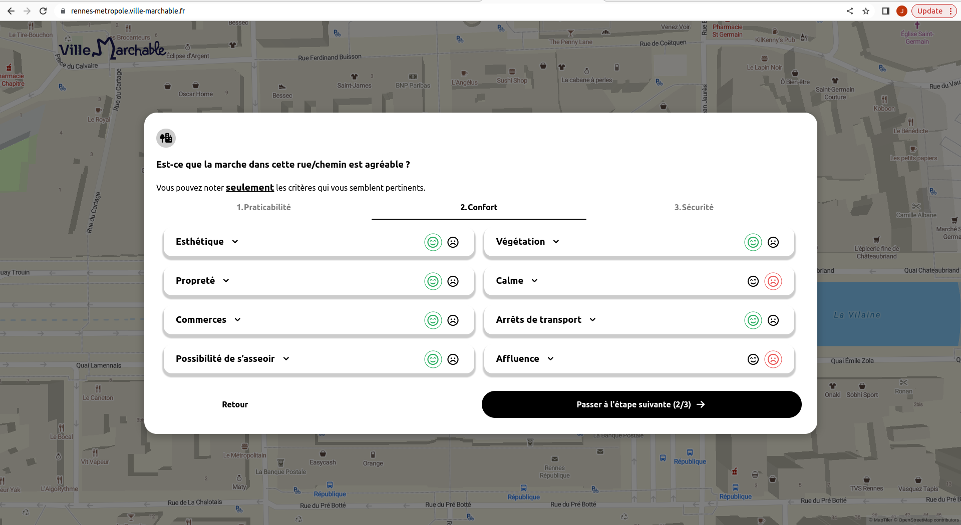
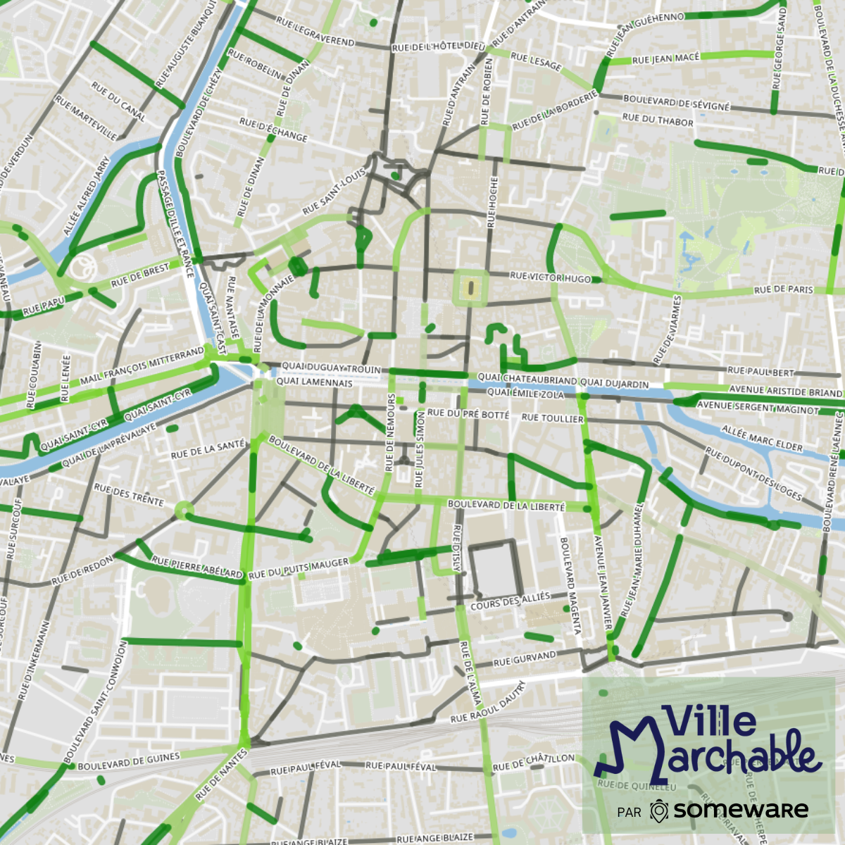
To improve the locations of public transport stops and offer 100% pedestrian routes, Rennes Métropole and Someware have joined forces as part of the City Orchestra project to map the region and identify information about residents’ walking habits and quality. Keolis Rennes, the network operator for Rennes Métropole, took part in implementing the project and analyzing the results to optimize walkability around future bus and tram stops.
Already a partner of Keolis in the implementation of the Handimap tool on Rennes Métropole’s mobility website and app (a trip planner for people with reduced mobility), Keolis asked the mobility data startup Someware to conduct a study on walkability.
The study’s goal is to map the optimal distribution of bus and tram stops, determine the need for amenities based on user profiles (such as the elderly and schoolchildren) and define 100% pedestrian routes that are completely safe.


